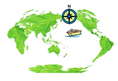
To locate points in a 2-dimensional plane, a coordinate system needs to be used.

A map of the Earth uses a 2-dimensional coordinate system called latitude and longitude to describe the locations of points on the Earth’s surface. Navigators use latitude and longitude to find their location when they are at sea, and meteorologists use latitude and longitude to describe the location of storms such as hurricanes.
GPS systems also use latitude and longitude to identify the location of your smartphone or to provide driving directions from your current location to your favorite restaurant.
In this lesson, you will examine ways to locate coordinate points on a 2-dimensional coordinate plane.
Because locations in the real world rarely occur at integer points, you may also need to use rational numbers, including fractions and decimals, to describe the locations of points.
It may be useful to think about a number line.
