Source: Europe in 1900, Matthew White's Homepage
In this section you will be able to analyze several maps that illustrate the changes of the political boundaries of Europe over time. Examine each of the maps carefully. You will use these maps to answer the questions that follow.
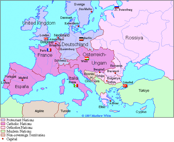
Look at the map of Europe in 1900 and compare it to the map of Europe in 1914.
Source: Europe in 1900, Matthew White's Homepage
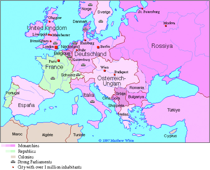
Source: Europe in 1914, Matthew White's Homepage
Now compare the map of Europe in 1914 to the map titled Interwar Europe (Europe in 1937).
Source: Europe in 1914, Matthew White's Homepage
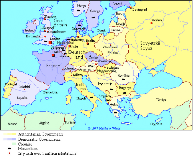
Source: Interwar Europe in 1937, Matthew White's Homepage
Analyze the map of Europe in 1942 for the next question.
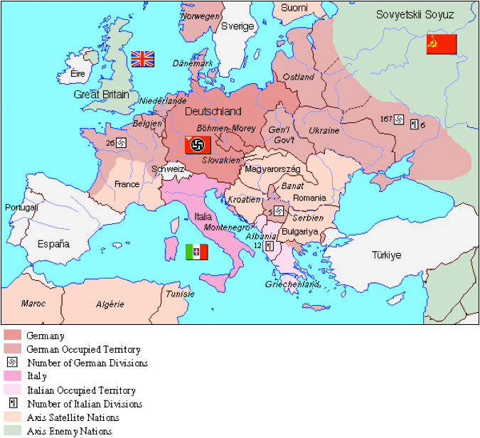
Source: Europe in 1942, Matthew White's Homepage
While there were many countries in Europe that regained their sovereignty after WWII, most of the countries now fell under one of two political or economic ideologies. Analyze the map Europe in 1970 to answer the question that follows:
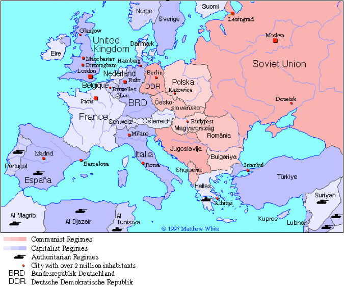
Source: Europe in 1970, Matthew White's Homepage
The Communist domination of Eastern Europe came to an end in 1989. Look at the map of Europe in 1970 and compare it to the current map of European Union Members below.
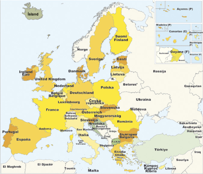
Source: European Union Members, Europa
Prior to 1990, the countries of Europe aligned with either democratic/capitalist or communist ideologies. After 1990, European countries chose whether or not to become a part of the European Union or EU.
Click on the following link and read about the History of the European Union: