Source: world physical map, Central Intelligence Agency
Maps are an important part of any Social Studies course. Interpreting a map is an important skill to have. There is more to reading maps than locating cities, states, and countries. In this section, you will become equipped with tools that will help you gain the most out of the maps that you will use.
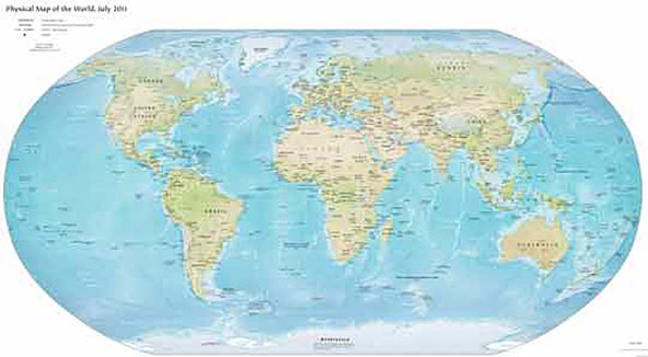
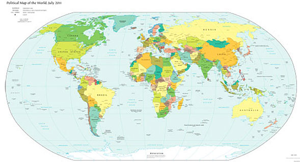
There are many types of maps available to show various projections, but the most commonly used maps are political (emphasizing boundaries) and physical (illustrating physical features).
Physical Map of the World

Source: world physical map, Central Intelligence Agency
Political Map of the World

Source: Refmap political World, Central Intelligence Agency
The Compass Rose

Source: Refmap political World, Central Intelligence Agency
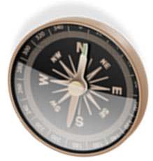
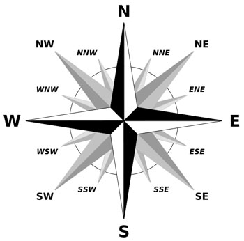
A compass rose is an important tool to help you understand direction. It is a circle or similar design which includes graduated degrees or quarter points (intermediate directions), printed on a chart or map for reference. The compass rose usually shows both magnetic and true directions. A compass rose shows the orientation of a map on Earth. Geographers use a compass rose or the north arrow when drawing their own maps.

Source: Brosen Rose, Brosen, Wikimedia
To use the compass rose successfully, you must understand the cardinal directions. The four main directions are north (N), south (S), east (E), and west (W). There are also four ordinal directions that are the intermediate directions that exist between the four cardinal directions, they are listed as northeast (NE), southeast (SE), northwest (NW), and southwest (SW). The ordinal points are further divided in the example below.
Parts of a map
To successfully read a map, you have to become familiar with the important parts of a map. Click on the boxes below to learn more about the parts of the map.