Source: 48 states animated map, Ed Stephan's Front Door
In this lesson, you will examine a series of maps that show the changes in the boundaries of the United States throughout the 17th, 18th, and 19th centuries. You will also get the opportunity to learn about some of the events, issues, and legislation that contributed to these changes.
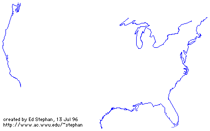
The animated map below illustrates the changes in the boundaries of the United States over time.
Source: 48 states animated map, Ed Stephan's Front Door
→ Quick Reflection: Why is the boundary of 1775 important? Did you recognize any boundaries in the animation? Which boundary change created the largest increase for the United States?
Why do you think the boundaries of the United States changed so much over time?
In your notes, write three observations that you made about these boundary changes. Feel free to review the map again.